Work
What I do, and what led here
I build computer-vision systems that turn drone and aerial imagery into maps of forests. The habits behind that work, checking data before trusting it and thinking in signals and geometry, come from fourteen years in seismic field operations.
Feb 2022 – today · Linköping, Sweden
AI Lead & Computer Vision Engineer, Arboair AB
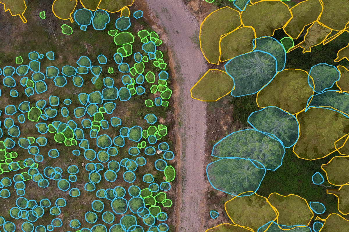
Arboair analyses forests from drone and aerial imagery: tree species, forest damage and stand structure. I joined as a computer-vision engineer, designed the company's computer-vision platform, and now lead its AI work.
- Designed and lead the company's computer-vision platform: one system from data ingestion and training data to model training, geospatial evaluation and GPU inference in production.
- Train modern deep-learning segmentation models, from transformer-based architectures with foundation-model backbones to classic CNNs, for tree species and forest-damage mapping.
- Built self-supervised pretraining on unlabelled aerial imagery and semi-supervised pseudo-labelling to make the most of scarce annotations.
- Turn pixel predictions into GIS-ready maps: tiled inference over very large GeoTIFFs, vectorisation, geometry repair and certainty scoring.
- Contributed to the orthomosaic pipeline from drone photos: LiDAR terrain models, georeferencing from drone metadata, seamline mosaicking and true orthophotos.
- Led the tree stem-diameter estimation project from field reference data to a production model with safe staged releases.
Specific systems, data and results belong to Arboair and are not described here.
2019 – 2021 · Linköping, Sweden
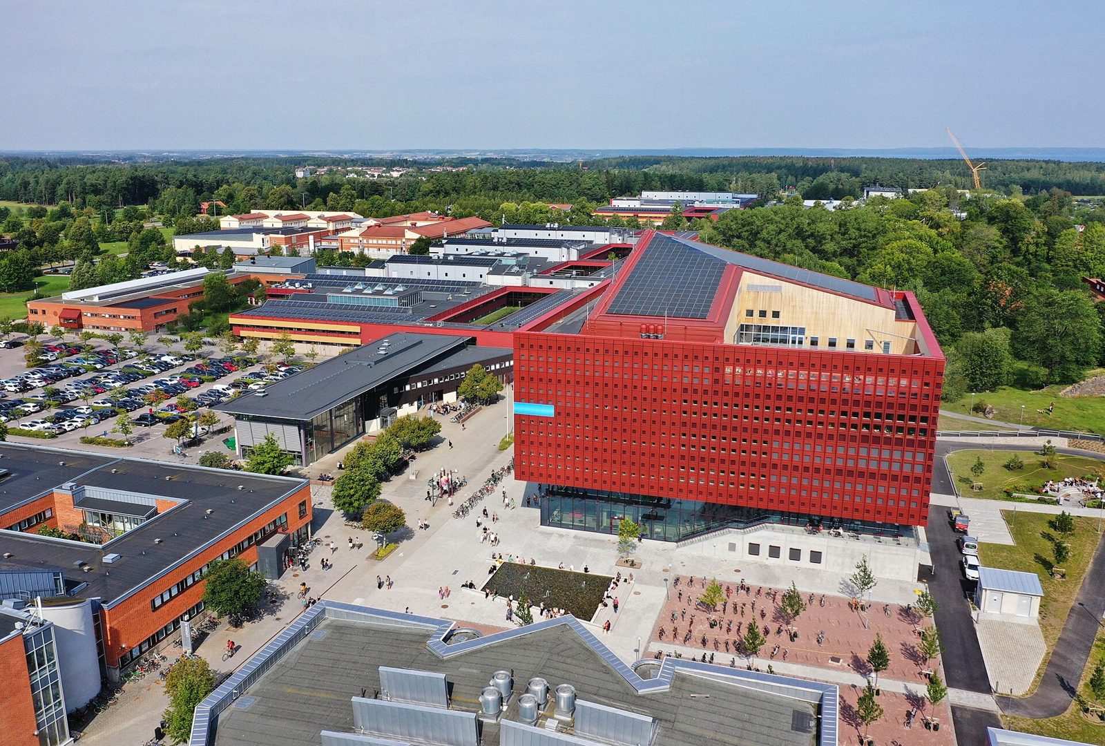
MSc Statistics & Machine Learning, Linköping University
A second master's degree to add statistics and machine learning to a geophysics background. The thesis, written together with Ericsson Research, studied anomaly detection and causal inference in 5G mobile networks: finding unusual behaviour in network performance data and using causal Bayesian networks to trace latency problems back to their likely causes.
Thesis: Anomaly detection and causal inference in 5G mobile networks, Linköping University, 2021 (LIU-IDA/STAT-A--21/040--SE).
2005 – 2019 · Khuzestan, Iran
Seismic Data Acquisition QC Supervisor, NISOC
Fourteen years with the National Iranian South Oil Company, from junior to senior quality-control supervisor on 2D and 3D land seismic surveys. Seismic acquisition sends energy into the ground and records the echoes on large arrays of sensors; my job was to make sure those recordings were clean, consistent and in the right place, in deserts, sand dunes and folded mountains.
Alongside the field work I completed an MSc in Geophysics (Seismology) at the University of Tehran (2009–2012), with a thesis on reservoir characterisation using prestack seismic inversion.
What carried over into computer vision
- Signals before models. Waves, spectra, filtering and noise are the same ideas whether the signal is a seismic trace or an image.
- Quality control as a habit. Checking data before trusting it is most of the work in training data, too.
- Geometry and geospatial thinking. Survey layouts, coordinates and terrain became orthomosaics, projections and GIS.
- Large, messy field data. Large daily volumes of recordings taught me to write tools instead of checking by hand.
Earlier publications and reports from the field years (in Persian)
Recognised as one of the company's best seismic acquisition supervisors in 2015. I supervised acquisition in more than five oil fields, with both dynamite and vibroseis sources, and mentored junior geophysicists.
- Kimassi, Mansuri, Pirmoradiyan. Applying the asymmetrical extended-patch method to improve data quality in a 3D seismic acquisition project. Journal of Exploration & Production Oil & Gas, No. 143, 2017.
- Kimassi, Paryab, Pirmoradiyan, Puladzadeh. Optimising a 3D seismic survey design to acquire high-quality data. NISOC Journal of Knowledge Management, 2016.
- Pirmoradiyan, Tayyebi. The origin of noise events in surface seismic data and how to reduce them. NISOC Journal of Knowledge Management, 2016.
- Internal technical reports (2012–2016) on 3D survey-design scouting, receiver-array design, acquisition in an industrial and densely populated area, and peak-particle-velocity safety distances.
Read the full story, with photos from the field and how a seismic survey works →